Dayton WA
Article: 0559
By David Randall, October 2009
Description
The Dayton area launch site is a large open field. The site is situated at the west end of a 66-acre alfalfa field in the middle of a low, wide valley. An old livestock corral planted in grass located at the southwest corner of the launch site provides a suitable parking and camping area. The location is sufficient in size to support up to a hundred flyers and spectators.
Location
The Dayton launch site is located 4.5 miles north of Dayton, Washington.
Facilities
Water: no available water
Electricity: no
Sewer/RV Dump: no
Porta-potties: Yes
Cellular Service: Yes
Food: On-site food vendor(s) during most launches. The nearby city of Dayton offers a grocery store and several restaurants.
Gas:The nearest gas station is approximately 4 miles from the site in Dayton, WA.
Lodging:Some “dry camping” is available on site. Local lodging information courtesy of Dayton Chamber of Commerce is here.
Restrictions
Fires: No open fires allowed on the ground, but barbeques, camp stoves, portable “patio pits” and lanterns are acceptable, so long as they do not leave burn marks on the ground.
Fireworks: No fireworks allowed.
Flight Waivers
Varies by launch, up to 5,000′ AGL
Reference Map

Maps and Directions
GPS Information
Dayton Launch Site Lat 46 deg 22.877′ N; Long 117 deg 56.684′ W
Environment
Flying season temperatures average from a low of 40 to a high of 95, with extremes from 30 to 105 degrees. Winds average 5-15 mph, lower in the AM or mid-day, with peaks to 25 mph. There is a neglible chance of rain during summer months. Winter months are very likely to have snow on the field.
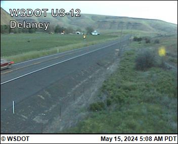
Current Web Cam View and Weather Conditions

Washington DOT Web Cam View – North of Dayton on US 12